Assessment swarm
Drones have become indispensable tools in agriculture in recent years and we have been using them successfully for years. The prompt availability of the collected data is a crucial prerequisite for being able to control agricultural processes efficiently.
However, this is where current technologies reach their limits. The high demand for detailed plant information leads to a conflict of objectives between spatial resolution and area performance. Innovative solutions are needed to increase the productivity of drone use and open up new application possibilities. To this end, we have initiated the assessment swarm project.

Practical applications
The long-term success of a project depends largely on the results offering real benefits in practice. To this end, practical scenarios and requirements for the use of a drone swarm were determined by carrying out inspections with individual drones.
Furthermore, we are in continuous contact with our farms to ensure that the scoring swarm is optimally adapted to the needs of the farmers.
The following scenarios have been implemented in practice to date:
N uptake NDRE
Yield mapping of winter cereals without rapeseed
Corn yield mapping
Field emergence → emergence rate
Biomass NDVI → Comparison of trial elements
Growth height
Degree of cover
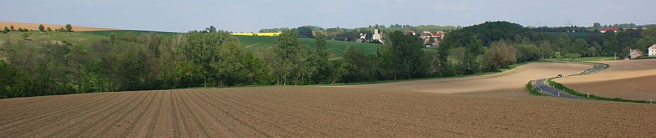
Here are some pictures:
Alternative to yield mapping combine harvester in winter wheat

Determination of emergence rate in maize

Bonitur Biomasse (NDVI) in Versuchen


Grassland assessments using drones are in preparation:
- Yield estimation dry matter from grass height/vegetation index
- Mapping ragwort and other poisonous plants
Current planning of differentiated maize/sunflower sowing, monitoring results through trials
The differentiated sowing of maize has become much more important in practice in recent years. The local conditions of the individual sections of a field are taken into account: Higher seed rates are used on better soils than on less productive soils. The farmer determines the range of seed rates on the basis of variety recommendations and/or his own experience.

here seven classes from 1 – worse soil to 7 – better soil
Since 2021, we have been creating differentiated seed maps for maize and sunflowers, among others. An OFR (on-farm research) trial in sunflowers has already shown significant positive effects on yield. This year we are planning to carry out trials in maize as well.
If you are interested in such trials and if you have a forage harvester with yield mapping and an optional NIRS sensor, please contact us (see contact details below)!

Ask us, we look forward to your tasks! We specialise in company-specific solutions, we value you and your challenges =;-).
Our contact details are:
exagt@exagt.de or personally:
moritz.gassan@exagt.de
+49 (0) 170 365 2072, +49 (0) 34324 269739
arnim.grabo@exagt.de
+49 (0) 176 72588814, +49 (0) 34324 269737
Du muss angemeldet sein, um einen Kommentar zu veröffentlichen.