Assessment Swarm
Our joint project “Boniturschwarm” of the TU Dresden, Chair of Agricultural Systems Engineering and EXAgT GmbH has been running for three months as part of LAND.VISION.
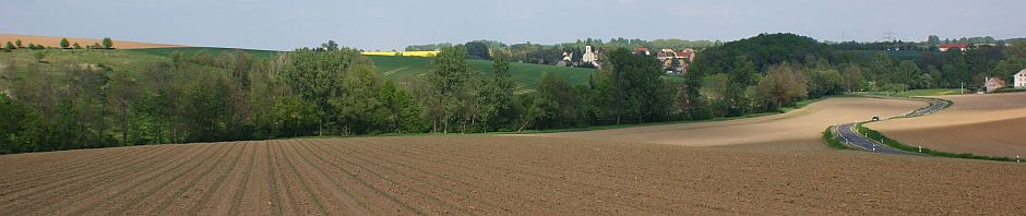
The aim of this project is to increase the productivity of the use of commercially available drones without having to use large, cost-intensive drones with their high investment/insurance and training requirements.
By (pre-)processing the images in the field, the overall processing time from drone flight to a scoring and application map is to be greatly reduced.

Anyone who has “stumbled” across my WhatsApp status messages recently has been able to get an impression of our current work. This consists of compiling and describing various deployment scenarios as well as practical flights with a single drone to collect data as material for a future photogrammetric processing route.
In addition to the project, we (the EXAgT and some employees of the TU Dresden) were instructed by an experienced drone pilot (Fabian Naumann from Apus Systems) in the manual control (also without GPS) of different types of drones and practiced this in detail.

The project has now been running for a year. One of its aims is to develop a digital toolbox for on-farm experiments that will enable farmers, both independently and in cooperation with consultants, researchers, companies and colleagues, to efficiently investigate practically relevant experimental questions on their own farms. This toolbox will serve as an assistant for the planning, implementation and evaluation of experiments.

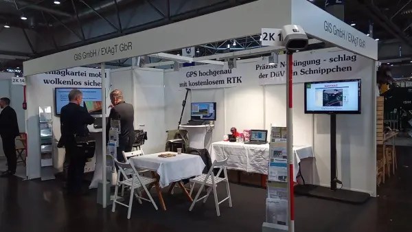
As part of the team, we contribute our many years of practical expertise in the field of PiG/OFR trials. Our contributions range from defining the requirements for the QGIS plug-in for OFR planning to providing an OFR manual.

Ask us, we look forward to your tasks! We specialise in company-specific solutions, we value you and your challenges =;-).
Our contact details are:
arnim.grabo@exagt.de
+49 (0) 176 72588814, +49 (0) 34324 269737
andreas.schmidt@exagt.de
+49 (0) 173 352 8960, +49 (0) 34324 269739


You must be logged in to post a comment.