While the news has recently been dominated by GPS interference from Russia at its borders and in the Baltic Sea, there have also been positive developments.
The media hype surrounding the European GPS alternative/supplement Galileo has died down in recent years, RTK receivers have become affordable and the SAPOS correction signal is free everywhere in Germany. Negative for the providers but good for the customer, competition has been increasingly based on price since the appearance of good quality and inexpensive chipsets and antennas.
The L5 band opens up new possibilities
GPS, Galileo and QZSS (Japan) now all offer the L5 frequency band in addition to L1 and L2, and with new affordable chipsets and antennas you can take advantage of this band. These are
- Greater accuracy: Positioning is more precise, especially in dense urban canyons and under trees (even under foliage) partly due to a faster data transmission rate (10 times higher than with L1).
- Less interference: Multipath errors due to signal reflections are better suppressed.
Benefit soon!
We will be offering this new technology later this year, giving you even more precise and reliable surveying solutions!
See field report (german): https://www.optimalsystem.de/os/docs/2024-04-29-f10n-urban.pdf.
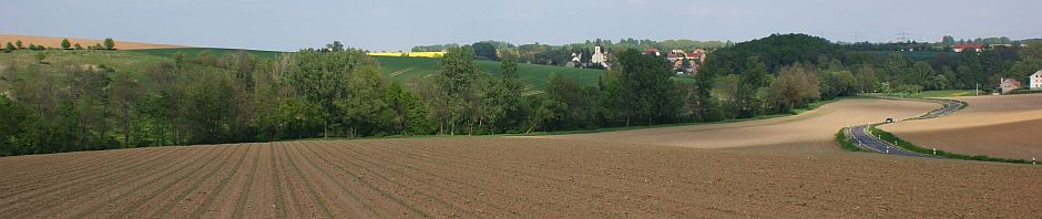
Drone flying – a gimmick?
Recently, I have been “accused” of my activities as a drone pilot being just a “gimmick” and not real work. However, the actual flying and evaluation of the data currently takes up a large part of my working time.
First of all, it should be noted that a flight is not an end in itself; every mission is preceded by a specific question from a customer.
Preparation:
Every flight is thoroughly planned. The area to be flown over is transferred to the flight planning software and the flight plan is created based on the desired ground resolution.
Execution:
At the deployment site, the flight direction is adjusted to the wind conditions and the connection is established with the relevant SAPOS service. The actual flight is largely autonomous, with me monitoring the drone and changing the battery if necessary.
Evaluation:
Back in the office, I create an orthophoto (georeferenced aerial image) and carry out the image analysis. Under optimal conditions (SAPOS/RTK, low wind), this is usually done automatically, but can become more complex in adverse conditions.
Two practical examples:


Admittedly, the accusation of “gimmickry” is not easy to refute. However, I am aware of the high effort and quality of my work, and my customers confirm this by accepting our invoices 😉 .
Ask us, we look forward to your tasks! We specialise in company-specific solutions, we value you and your challenges =;-).
Our contact details are:
arnim.grabo@exagt.de
+49 (0) 176 72588814, +49 (0) 34324 269737
andreas.schmidt@exagt.de
+49 (0) 173 352 8960, +49 (0) 34324 269739
You must be logged in to post a comment.